- 17 November 2026
- Dr Gintarė Bidlauskienė
When Water Becomes a Weapon: From Ukraine to Global Water Conflicts
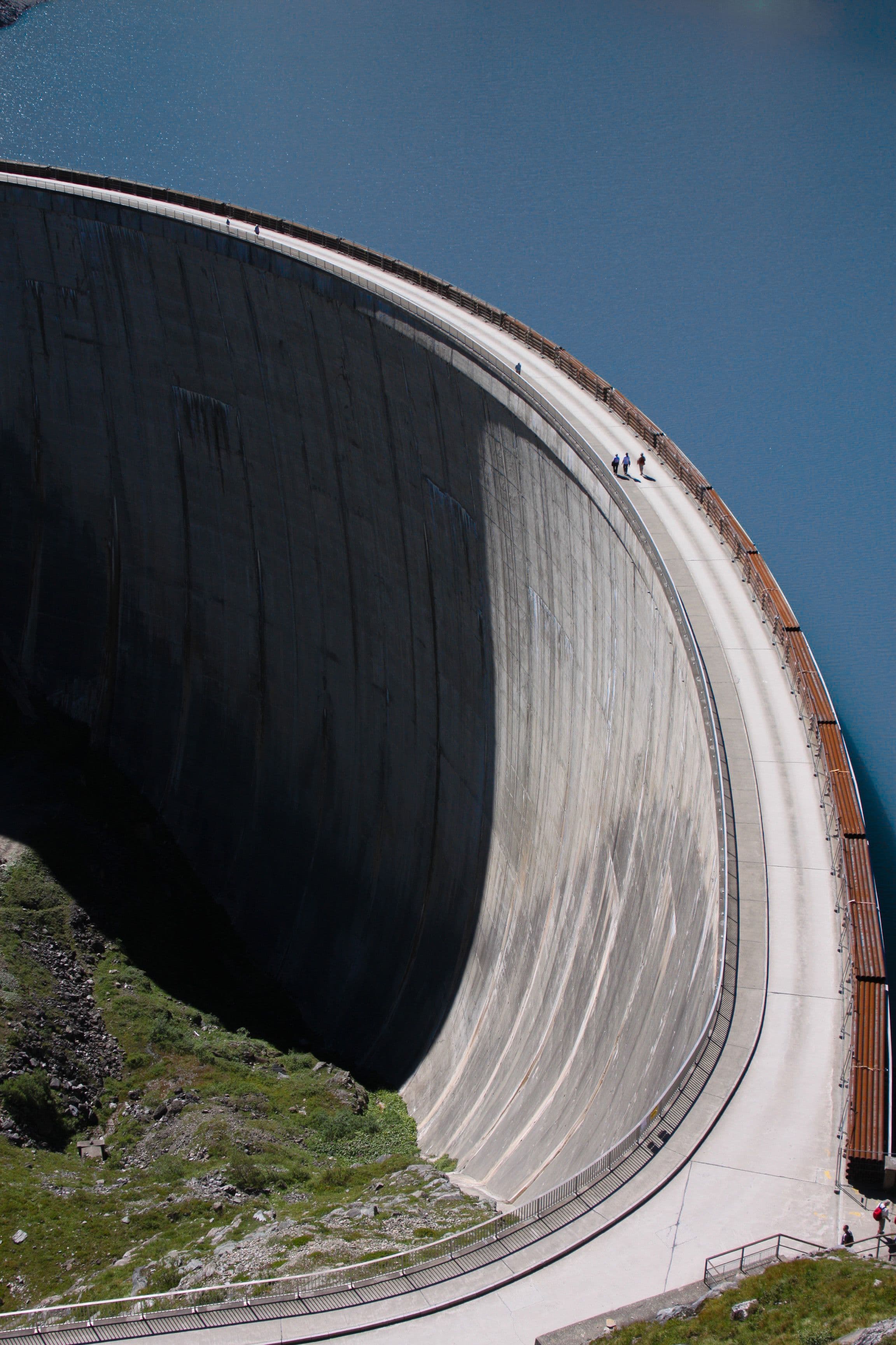
Wars reshape more than national borders and urban landscapes. They also transform what often goes unnoticed – water systems. Destroyed dams, damaged infrastructure, contaminated groundwater, disrupted drinking water supplies, and the migration of millions of people can have consequences that last for decades after military operations have ended. This is especially evident in Ukraine, where war-driven internal migration has placed such pressure on water systems in some regions that infrastructure has struggled to keep up with the sudden increase in demand. In places, declining water reserves have already been recorded.
These developments show that water infrastructure is increasingly becoming a strategic military target and that the impact of armed conflict on the hydrosphere is now regarded not only as an environmental issue but also as a security concern.
Assoc. Prof. Vytautas Samalavičius, a hydrogeologist from the Faculty of Chemistry and Geosciences of Vilnius University, investigates how armed conflicts affect groundwater resources and how these changes can be monitored using satellite data and artificial intelligence (AI). His research focuses on groundwater resilience and changes in Ukraine’s border regions.
Water as a tool of geopolitical power
‘Water is one of the most essential resources for human survival. While societies can often cope with disruptions to energy supplies for quite some time, any disruption to water access becomes critical very quickly. For this reason, control over water can serve as a tool of geopolitical power,’ said the researcher.
According to him, water conflicts are not a new phenomenon. Many rivers and groundwater bodies extend across the territories of several countries, meaning that decisions made by one state inevitably affect its neighbours. Some countries control the upper reaches of rivers, while others share the same groundwater aquifers. In such cases, water can become more than a shared natural resource – it can also serve as a means of political pressure.
War reshapes cities – and water systems, too
The armed conflict in Ukraine has become one of the most pertinent examples in recent years. In Assoc. Prof. Samalavičius’ view, the war has demonstrated just how quickly an entire region’s water supply system can be disrupted and how closely natural and social processes are intertwined.
The destruction of the Kakhovka Dam attracted global attention. Its consequences extended far beyond flooding and damage to infrastructure: the disaster altered the region’s hydrological regime, inundated settlements, and released pollutants that had accumulated in bottom sediments over many years.
‘When a dam is destroyed, bottom sediments are disturbed, and they may contain a wide range of accumulated pollutants. Under normal conditions, they remain isolated, but an extreme event can release them back into the environment,’ the hydrogeologist explained.
The impact of war on water resources is not always direct. As millions of Ukrainians relocated to safer parts of the country, pressure on local water systems increased dramatically. Researchers are now working to determine how much of the observed change in water resources was driven by natural factors and how much resulted from war-induced migration.
‘We can see that water reserves have declined in some regions because of climate change, but migration has also emerged as a significant factor. We are currently trying to distinguish between the effects of these processes,’ noted Assoc. Prof. Samalavičius.
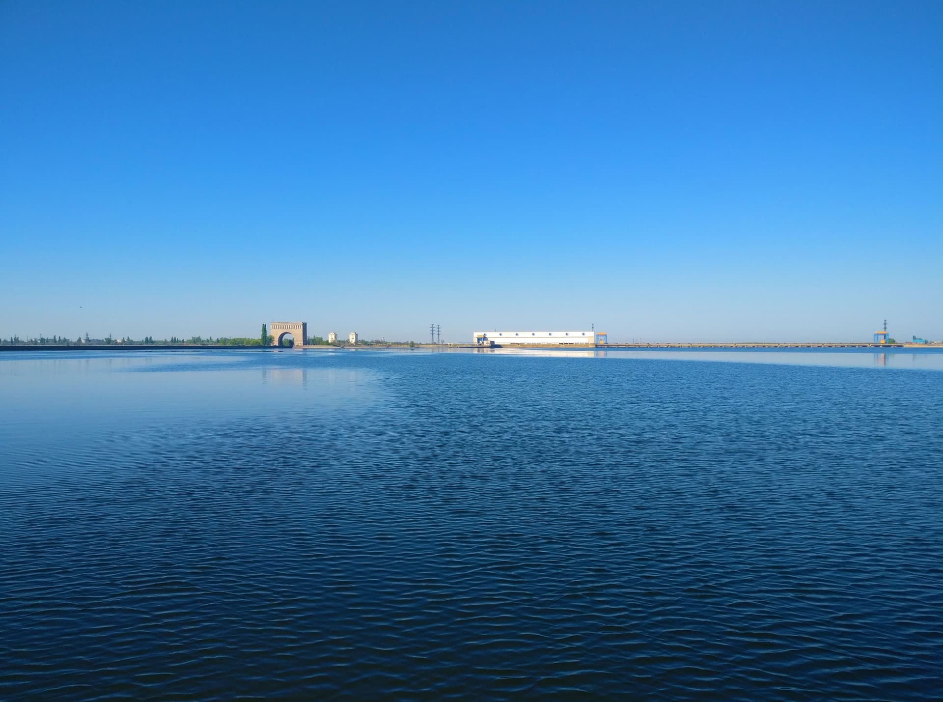
During wartime, managing the consequences is difficult – and so is documenting them. With monitoring networks out of operation and inaccessible territories, part of the war’s impact on water systems will only be assessed once active hostilities have ceased. ‘At the moment, the top priority is defence, so many environmental studies have been postponed until a later stage,’ added the researcher.
Gravity reveals what monitoring stations cannot see
In wartime, environmental research faces a very practical challenge: in many areas, it is simply impossible to take direct measurements. Some monitoring stations are destroyed, others stop functioning due to infrastructure damage, while certain territories become inaccessible to researchers. Scientists are therefore relying more heavily on remote methods of monitoring environmental change.
Under normal conditions, water resources are assessed using monitoring stations, boreholes, and other direct measurements. However, during a war, some of this infrastructure becomes inaccessible or ceases to operate altogether. In such circumstances, satellite data often becomes the only means of tracking long-term changes.
One such method relies on the GRACE and GRACE-FO satellites, which measure gravity anomalies. These missions, operated by NASA and the German Aerospace Centre (DLR), make it possible to track changes in mass across the Earth – and water is a highly significant contributor to such changes.
‘Our planet is not static. Mass is constantly being redistributed across it, and one of the fastest-changing factors is water. When the amount of water in a particular region changes, so does its gravitational field. These are precisely the changes recorded by the satellites,’ explained Assoc. Prof. Samalavičius.
This data can be used to monitor what is known as total terrestrial water storage – the total amount of water held in surface water bodies, soil, and underground layers. Although satellites cannot directly ‘see’ groundwater, changes in gravity allow scientists to estimate how these reserves vary spatially and over time.
The researcher highlights that among the method’s greatest advantages is that it is not constrained by political or military circumstances: ‘National borders are no barrier to satellite observation. Even when no monitoring is being conducted in an area, or the data is not publicly available, we can still observe overall trends and assess changes in water resources.’
AI helps bridge data gaps
Satellite observations, however, cannot provide the full picture on their own. A key challenge is their spatial resolution. Gravity measurements are well suited to analysing large regions, but more detailed data is needed to understand what is happening in a specific location. This is where AI comes in.
‘Raw data often covers very large areas. Our goal is to downscale it so that we can obtain a more detailed view. To achieve this, we use additional satellite and environmental data together with AI models,’ observed the researcher.
One of the key tasks of such models is to improve the spatial resolution of the data; in other words, to extract far more detailed information about conditions in specific areas from a broad regional picture. Yet AI is not limited to assessing the current situation.
By combining climate, hydrological, social, and demographic data, researchers can develop scenarios to predict future changes. This is particularly important in regions affected simultaneously by climate change and geopolitical instability.
‘Unlike conventional physical models, AI can evaluate numerous factors at once – from climate conditions to population migration. This allows us to make more data-driven decisions,’ Assoc. Prof. Samalavičius remarked.
In his view, a major advantage of AI is its ability to integrate very different types of information into a single model. In addition to climate and hydrological data, researchers can incorporate social, economic, and migration indicators to determine which factors exert the strongest influence on changes in water resources in a given situation.
Why are water-related conflicts on the rise?
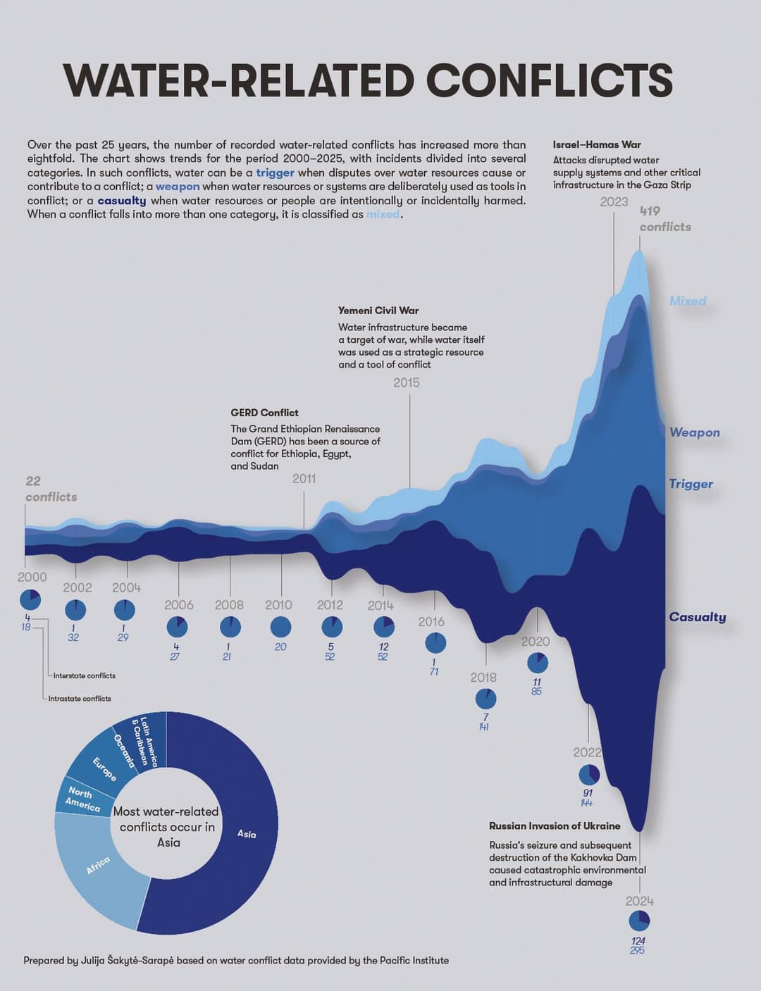
The data gathered by researchers and international organisations indicates that conflicts involving water resources and infrastructure are becoming more frequent worldwide. This rise is driven by two interconnected factors – climate change and growing geopolitical tensions. Of particular concern is the increasingly common use of water resources as a weapon, a means of exerting pressure, or a pretext for military action or terrorism. In some regions, water supplies are declining as glaciers melt and periods of drought grow longer. Among the most frequently cited examples is the Himalayan region, which plays a crucial role in regulating the flow of Asia’s major rivers. Their basins are home to hundreds of millions of people, while countries such as China, India, and Pakistan have competing interests over the use of these shared water resources.
Another example is the Nubian aquifer in North Africa, shared by Egypt, Libya, Sudan, and Chad. It is one of the world’s largest groundwater reserves, yet it is effectively non-renewable. According to the researcher, it has become clear over time that water extraction by one country affects the resources of its neighbours, creating a need for joint monitoring systems and data exchange. This case aptly illustrates an issue that may become ever more pressing in the future: water does not respect political borders, yet its management still depends on national decisions.
As Assoc. Prof. Samalavičius explains, water is increasingly becoming not only a cause of conflict but also a tool for waging it: ‘We are seeing a new trend – water infrastructure is being used as a strategic target or a means of exerting pressure. Such actions may have lasting consequences for both the environment and societal stability.’
Water resources as a national security concern
Although most water-related conflicts today occur in regions outside Europe, the researcher stresses that water security is also highly relevant to European countries.
The GRANDE-U project (Groundwater Resilience Assessment through Integrated Data Exploration for Ukraine) examines the areas along the Ukrainian–Polish border, where shared groundwater systems can be analysed and methods developed for application in other countries. Similar models are already being used in Lithuania to assess changes in karst areas and groundwater resources.
Assoc. Prof. Samalavičius asserts that the key lesson from Ukraine is that water must be treated as critical infrastructure in both wartime and peacetime. Threats may arise not only from physical attacks but also from cyberattacks or even temporary supply disruptions. Modern water supply systems are becoming ever more digitalised and are therefore vulnerable to more than just physical damage. Some processes are controlled remotely, making water infrastructure a potential target for malicious cyber interference as well. Ensuring water security in the future will consequently depend on both technical solutions and greater attention to infrastructure protection.
‘Consider what would happen in any city if the taps ran dry for two or three days. We would very quickly realise just how heavily our daily lives depend on water. It is becoming ever clearer that water security is not merely an environmental issue but also a matter of national security,’ concluded the hydrogeologist.
Funding was provided by the Research Council of Lithuania (LMTLT) under Agreement No. S-IMPRESSU-24-3.